|
May 18, 2012
Miles: 273 -- Total miles: 3,621
Time on road 8h 15m
Escarcega, Campeche to San Cristobal de las Casas, Chiapas
Mountains! Mountains! Did someone say mountains? Filled with curves. Squiggly, wiggly curves!
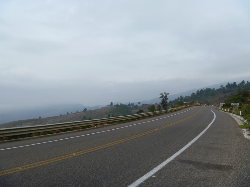
Morning started off with clouds and light rain. I was able to avoid the rain and soon it was mostly sunshine. Temperature stayed in the 70's low to a high of 80. Much better than the previous days highs of 95-100+.
Still had a couple of hours left of backtracking to do.
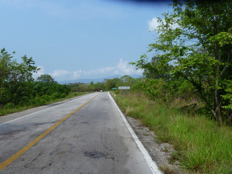
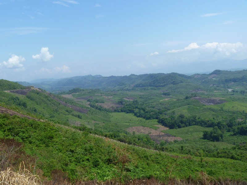
Got to Hwy 199, headed south and things begin to change. Could see mountains in the background and the road was a narrow two lane.
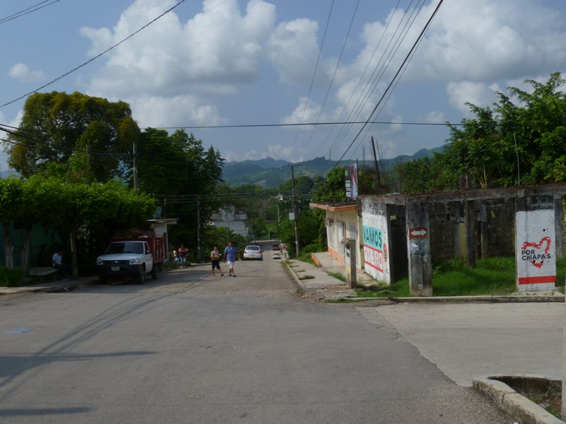
Went through Palenque and and began climbing into the mountains. The first half of mountain ride was great. Just a steady increase in altitude with continuous curve after curve The last half was still a great ride, climbing to 8k+ feet, but about ever 2 miles there was a small Mayan village. There is nothing that small villages love better than topes. The bash plate bashing kind. Tope after tope after tope. Get your speed back up for a mile or two and then you had more topes again. I think that there were more topes than curves.
This landslide actually had some warning, once you came around the curve and got to it. I have seen some where they gave you no warning at all. Go around a curve and the road is not there.
Most of the pictures are snap and dash. Lot of traffic, no place to pull off of the road, no time to frame the shot.
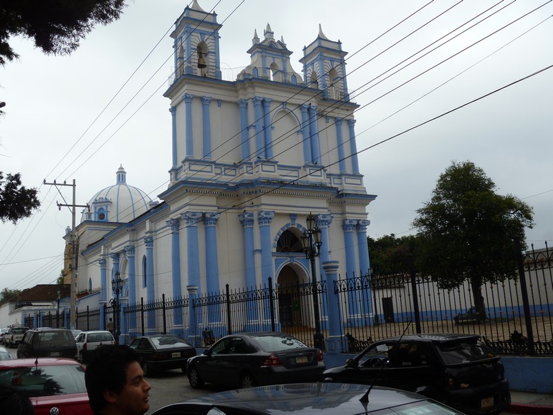
For about the last 50 miles I had fog, light rain, and of course, topes. Slow go to San Cristobal de las Casas. Found a hotel with inside parking and got out of the rain. Rain quit and later I took a few pictures of the town.
Most of the pictures are snap and dash. Lot of traffic, no place to pull off of the road, no time to frame the shot.
|